Heavy rain: Jura and Ain on orange alert, up to 100 mm expected
Météo-France has placed the Jura and Ain departments on orange rain-flood alert from 4 p.m. on Sunday, 22 November, until Monday morning. Pas-de-Calais remains on orange flood alert, and 43 departments are on yellow wind alert.
A Sunday on high alert in eastern France. Météo-France has raised the warning level over the Jura mountains: the Jura and Ain departments move to orange rain-flood alert from 4 p.m. on Sunday, 22 November. In the Jura, the alert runs until 6 a.m. on Monday, 23 November, according to France 3 Bourgogne-Franche-Comté.
The cause is a new weather front stalling against the mountains. The forecaster, quoted by franceinfo, said a new disturbance is crossing the country with rain blocked over the eastern massifs, notably the southern Jura and eastern Ain.
Up to 100 mm on the Haut-Jura
Expected totals are high and concentrated over a short period:
- 70 to 90 mm on the Haut-Jura, and locally 100 mm, according to Météo-France;
- 60 to 80 mm on the plateaus, most of it falling within about twelve hours;
- gusts of up to 70 km/h, according to the Jura prefecture.
A local meteorologist, Ilyes Ghouil of Météo Franc-Comtoise, expects as much as 80 to 120 mm on the plateaus, including the Saint-Claude valley, and around 150 mm near the summits, France 3 reported.
The only relief may come from snow. Overnight into Monday, it should replace rain above 1,000 metres on the ridges, slightly reducing totals. Ilyes Ghouil puts the snow line at 1,100 to 1,200 metres, with 5 to 10 cm settling quickly and around 20 cm from 1,500 metres. The episode should end on Monday morning as the rain eases.
Pas-de-Calais still on flood alert
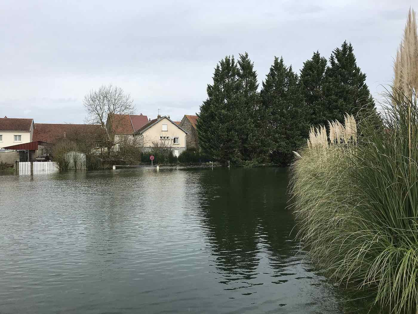
In the north, Pas-de-Calais remains on orange flood alert. The Canche and Lys plaine basins are affected. On Friday evening, the prefecture warned that no fall in water levels was expected before Sunday morning, as flood waves travel downstream, and that the recession would be slow. The department is coming out of a flooding episode: firefighters were still at work around Montreuil on 20 November.
Wind, snow and waves on yellow
The rest of the country is not spared. 43 departments are on yellow wind alert, from Vendée to Côte-d'Or via Gironde and Haute-Garonne. For Manche, Calvados, Orne, Var and Alpes-Maritimes, the alert runs into Monday; for Corsica, until Tuesday, 24 November.
Isère, Savoie and Haute-Savoie are on yellow snow-ice alert. Five departments are also on yellow alert for waves and coastal flooding, and five others for thunderstorms, according to data reported by franceinfo.
Safety advice
The Jura prefecture is urging people to limit travel and take shelter. It stresses that no one should, under any circumstances, enter a flooded road on foot or by car. Residents are asked to protect their property and take extra care near marquees, temporary structures and campsites. State services warn that significant damage is to be feared to light housing and temporary installations.
What next?
The orange alert is due to be lifted in the Jura at 6 a.m. on Monday if forecasts hold. Until then, the prefecture is directing residents to Météo-France's alert website for updates. On the ridges, anyone back on the road on Monday morning may find the first snow above 1,000 metres.